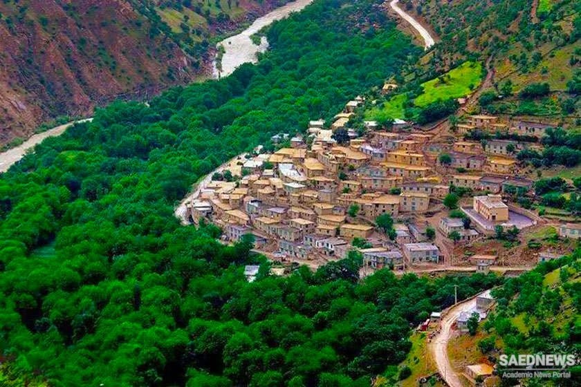
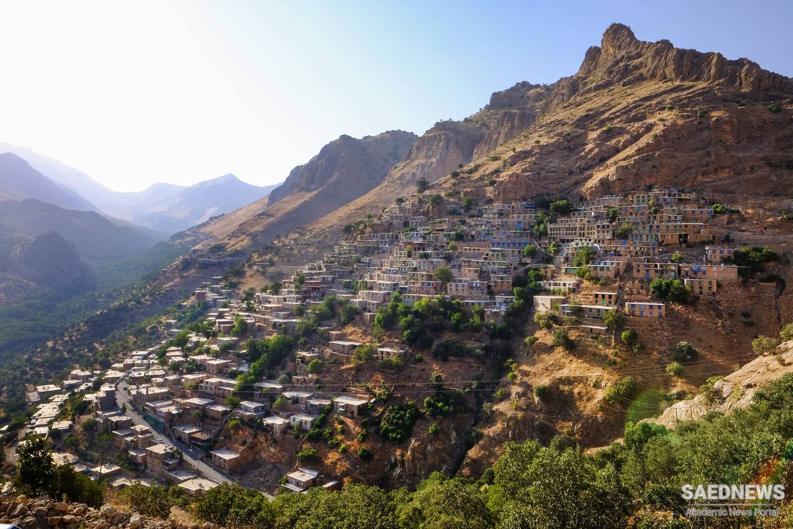
Uraman Takht is one of the historical villages of Iran and is located in Sarvabad County, sixty kilometers southeast of Marivan, one hundred and seventy kilometers of Sanandaj and Kurdistan. Located one thousand and five hundred kilometers higher than sea level, Uraman Takht Village can be seen in the foothills of Zagros, Shaho and Kosalan Mountains. It is fed by Sirvan, and Lileh rivers and Bil and Hanodgah Water Springs. This land is the habitat of Hurami people. Today Uraman Takht is a rural district. It is connected to Dezli and Kosalan from the north, Kurdistan Province and Paveh County from the west and south, and Razab and Shaliyar County from the east. Uraman Takht is formed by the villages of Sarpir, Kaleh, Roudbar, Belber, Zhivar, Nav, Nevin, and Lehon. According to the archeological researches, the history of the people of Uraman goes back to forty thousand years ago to the Neolithic period. Two historical contracts that belong to the Parthian Empire written in Pahlavi writing system on animal skin have been discovered in Uraman Takht. Another document found there was a trade contract of a vine garden. It was discovered in a cave in Zhavarvad. Just like the other contracts, it was written in Pahlavi writing system on animal skin (VisitIran).
Address: Google Map


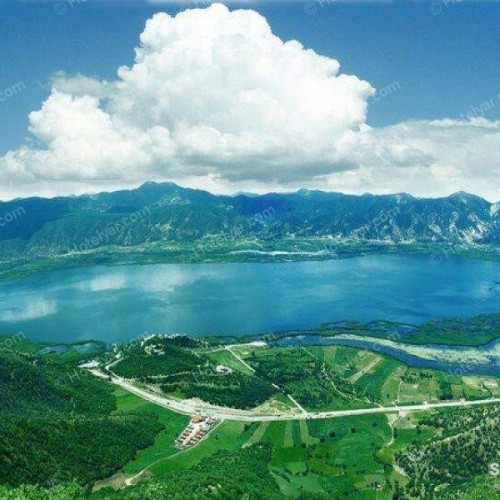
 Ecotourism Destinations in Iran: Zarivar Lake, Marivan, Kurdistan


