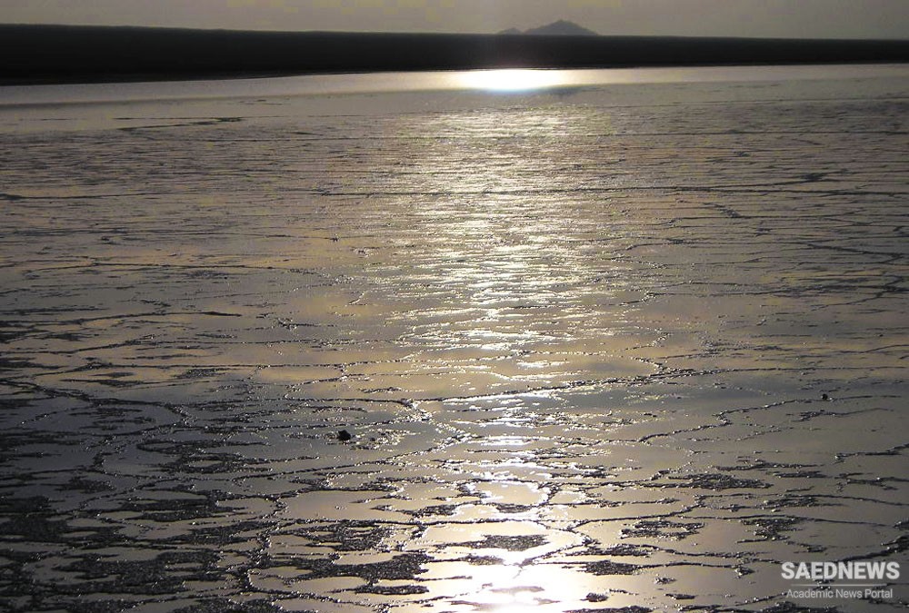
Haj Aligholi Kavir in the southeast of Damghan city, is one of the cities of Semnan province. This desert has been located between mountain and desert and reaches mountains of Dawlat Yar, Kuh-e Khers and Torkaman to the south, and it is near Damghan Kavir to the north. The height of this region is about 1000 meters above the sea level.
There are several seasonal rivers in Haj Aligholi Kavir some of them originating from Alborz mountain range. In fact, Semnan province is the intersection of Alborz mountain range and the central Kavir of Iran and that is why the province is one of the most attractive tourism attractions for nature lovers. Haj Aligholi Kavir consists of different parts. A part of the region is covered by foam clay layers. But the most attractive part of Haj Aligholi Kavir is maybe its salt marshs. Where the multi-dimensional forms cover the ground surface. This part is placed in the southwest of this region.
Among the most attractive landscapes of Haj Aligholi Kavir is the scene of accumulating rainwater in the second half of the year. It seems the sky and earth unify and the reflection of sky is beautifully seen in the water, in these conditions.
The best time to travel to Haj Aligholi Kavir is autumn and winter.
There are two paths for you to reach Haj Aligholi Kavir: the first one is to move from Shahroud to Torud and proceed the dirt road of Chejam to Kuh-e Khers. The second path is from Damghan to Moalleman and the dirt road of Deh Forat to Kuh-e Khers.
In order to travel to Haj Aligholi Kavir you have to go first to Damghan and then enter Isfahan road and proceed to Hasan Abad two-ways. From Hasan Abad you must move to Khurzan and proceed to southeast to reach Haj Aligholi region.


 Khaju Bridge the Majestic Beauty over Zayandeh Rud


