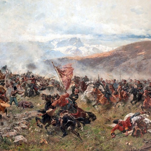
Russian conquests were confirmed by the treaties of Gulistan (1813) and of Turkumanchai (1828). The Irano-Russian boundary as set by the second of these treaties was to run from the Turkish frontier to the summit of the Little Ararat and then descend to the Lower Karassou River (Article 4). Thence it was to follow the Aras and the Astara rivers to the point of the latter’s discharge into the Caspian Sea.
East of the Caspian, Iran’s boundary problem was the result of the Russian conquests in Central Asia. Russia occupied Krasnovodsk in 1869. Iran regarded this Russian advance as a threat to its claims to Merv and Akhal. These areas were inhabited by the Turkumans, who did not owe allegiance to Iran. Twice between 1857 and 1861 the Governor-General of Khorasan had attacked and occupied Merv, but he had failed to establish Iran’s control over it.
During the Russian advance in Turkumania, Iran had mixed feelings. It was alarmed because one of the nine tribes dwelling along the Iranian border and on the shores of the Caspian Sea for the most part owed allegiance to Iran. On the other hand, although Iran had watched the Russian subjugation of the tribes with considerable alarm, it could hardly protest the result. Iran, like Russia, nursed many grievances against the ruthless Tekeh Turkumans who had plundered Khorasan, Iran’s northeastern province, for many generations. It is believed that in 1873 Iran had been so aggrieved by the Tekeh border raids that the Shah promised Russia cooperation in punishing the tribes in Merv and Akhal.
Iran finally signed a treaty regarding its eastern boundary with Russia in 1881. By the Treaty of Akhal-Khorasan, Iran and Russia agreed not to allow the Turkumans arms or ammunition. Iran also relinquished its claims to Merv. The frontier was drawn along the lower Atrek, beginning at the Hasan Quli Gulf on the Caspian Sea, following the Atrek and thence along the outer flanks of the Kopeh Dagh to the Tejen River. Iran also undertook to evacuate the forts of Gimab and Gulgulab.
Although the treaties of Turkumanchai and Akhal-Khorasan defined the frontiers of Iran with Russia to the west and to the east of the Caspian Sea, frontier controversies between the two countries continued. On the eastern side, for example, Russia pressured Iran into signing a new agreement in 1893 by which the frontier village of Firuzah was taken from Iran in return for a piece of land on the west side of the Caspian. Boundary problems with Russia as with Turkey continued to plague twentieth-century policy makers.


 The First War with Russia: Shivering Foreign Policy


